
 | Twelve months in Wellington / by John Wood (1843)
Chapter 6 |
| Contents: introduction | narrative page 1 | chapters: 1 | 2 | 3 | 4 | 5 | 6 | 7 | 8 | 9 | 10 | 11 | 12 | |
|
The irregular outline of the town proves the unaccommodating nature of the country. Its extreme length, from north to south, is four miles; its greatest width two miles. Thus an area of eight square miles has been required for a township of 1100 acres. What the nature of the ground reserved for public gardens is may he inferred from its outline.
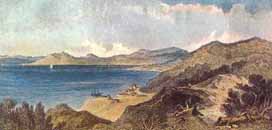
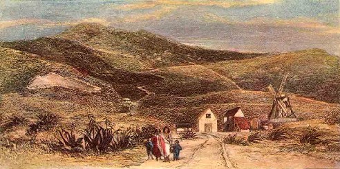 Mountains wooded to the west ; mountains clad with fern to the south. The plan of the township is inconveniently large, and out of all proportion to the extent of arable land in the surrounding districts, upon which ultimately its prosperity must depend. The shores of Port Nicholson are precipitous, and, with the exception of the ground at the embouchure of the Hutt, there is not a level spot in its circumference containing the number of acres embraced in the plan of Wellington. The inundations of the river drove the surveyor from the Hutt. But it was necessary that 1100 acres should be marked off somewhere within the heads of the port; and Lambton Bay, the least objectionable spot, was accordingly selected. The site is convenient for shipping, and sufficiently roomy for a good-sized town. One effect of the injudicious size of the present one has been, that the parties who were fortunate in the lottery picked out the valuable acres, leaving little worth selecting to those who came after them. A writer in an Auckland paper asserted that some of the Wellington town acres were inaccessible to goats. This was contradicted by authority, and the settlers informed by Mr. Brees that these animals could climb them. If the surveyor will only walk out to Jerningham Point he will there find town acres, which, although they may be accessible to a goat, are yet quite useless to their proprietors.
|